Our Services
-

Property Maps
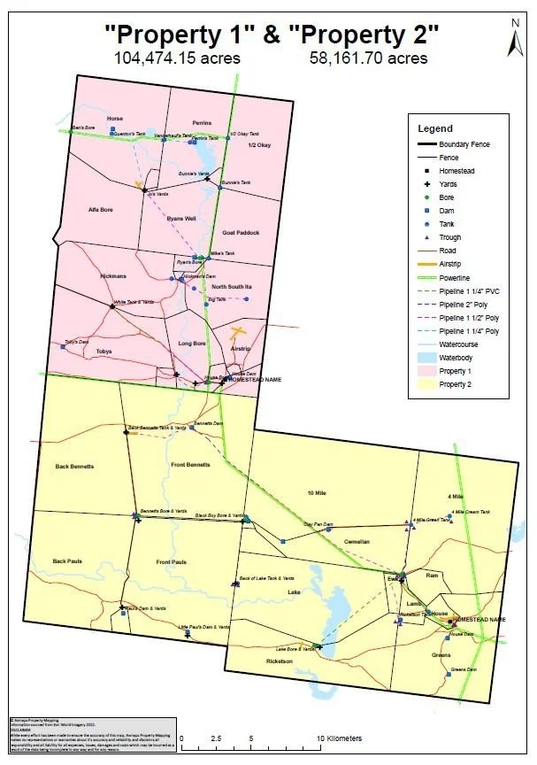
Georeferenced pdf map of your property, showing fences, paddock names, water points, roads and infrastructure. Add your map to mapping apps on your smart phone or tablet to see your location, record GPS tracks and add waypoints.
Optional extras include, but not limited to, pipelines, paddock sizes, cultivation areas, contours, satellite imagery etc.
-

Agricultural Services
We can assist with property biosecurity planning, NLIS data management and PIC Reconciliations.
-

Consulting
7+ years experience working for State and Local Governments focusing on biosecurity, rural land management and procedure and policy development.
Contact us to discuss your land management and planning requirements.
Hear from some of our favourite clients!
More about our brand
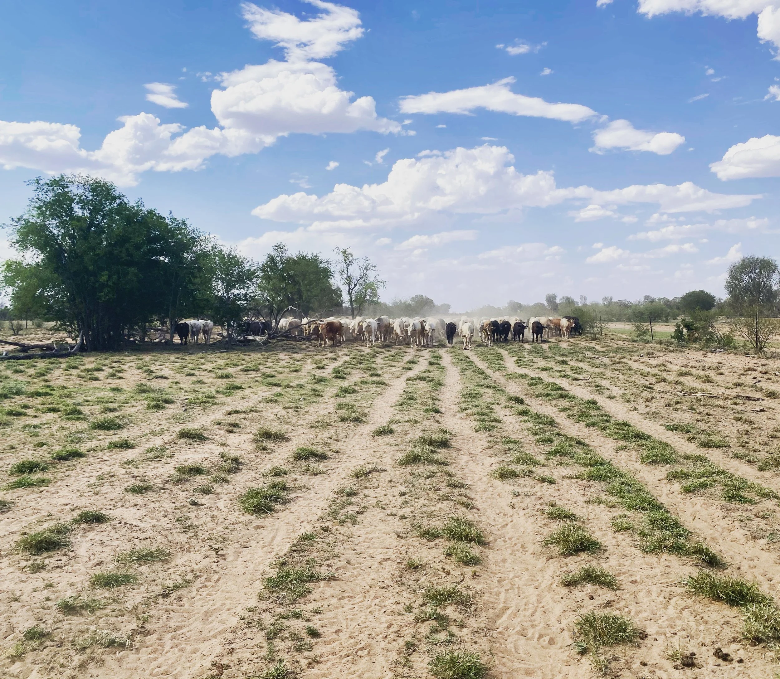
Based in Central Queensland and with experience working on stations and in the beef industry, you’re in good hands with Avmaps.


